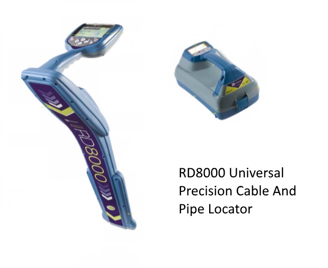
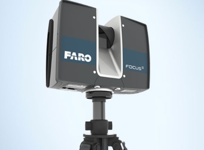
Services Our Services Land Development Sub-division, Partitioning and Amalgamation Application Surrender and Re-alienation (SBKS) Application Pre-computation and Premium /Quit Rent Calculation Qualified / Final Title Application Application to change / delete / add / impose of expressed conditions / restriction of interest Estate Land Board Consent Application Land Acquisition Application Title Cleansing ( To determine balance area, records of land acquisition, etc ) Application of Title In Continuation Upon Land Acquisition Strata Survey Consultancy in Stratified Development Scheme Strata Title Application & Survey Land Title Survey Agriculture, Housing, Commercial and Industrial Schemes Boundaries of Reserve Land Mining Certificate and Leases Land Acquisition Stratum Survey Engineering Survey Topographical / Hydrographical Survey Road Alignment Water and Natural Gas Pipeline River and Irrigation Railway Alignment Electricity Transmission Line Mining Underground Utilities Detection Agriculture Scheme (Blocking & Final Survey) Construction Survey Setting out Survey ECC Calculation for Piling works Monitoring Survey As-built Survey AIRBORNE LASER SCANNING SURVEY Topographical Mapping With 1m Contour Lines Using Airborne LiDAR Method Building Information Modelling(BIM) 3D Scanning & BIM Conversion BIM Modeling BIM Coordination & Clash Detection Bill of Quantity from BIM As Built BIM